

While it may be the middle of April and the spring season, accumulating snow is possible Tuesday afternoon into early Wednesday morning.
The latest forecast from the National Weather Service office out of North Webster shows chances for two to four inches of snow throughout northern Indiana, with the heaviest snow possibly for areas throughout northeast Indiana.
The current timing for the snow looks to start after 2 PM at the earliest and go through 4 AM on Wednesday at the latest. Precipitation will start out as rain Tuesday morning before changing over to snow.
The snow, along with two nights of freezing temperatures could threaten or even kill sensitive plants and vegetation if they are left out. If you can bring plants inside for Tuesday and Wednesday night, it is advised to do so as temperatures could drop into the mid to upper 20s.
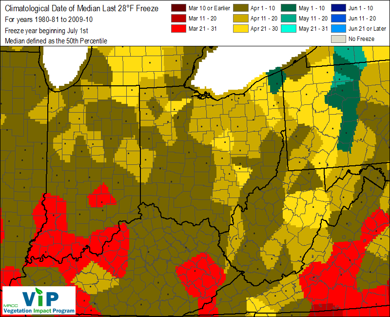
According to the Midwestern Region Climate Center, the median last date of a hard freeze, or temperatures at or below 28 degrees, is between April 1st and 10th, but the latest has happened between April 21st and 30th.
The last freeze for the season, where temperatures dip to 32 degrees or lower, is typically between April 21st and 30th, but it has been seen as late as May 11th to the 20th.


