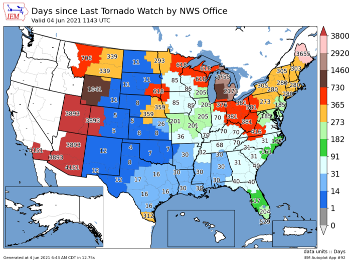
Despite some recent rains and rumbles of thunder, the area and others of the Midwest are experiencing a “drought” of severe weather.
According to data from the National Weather Service office out of North Webster, it has been 204 days since the office last issued either a severe thunderstorm watch or warning. Longer still, it has been 296 days since a tornado warning has been issued and a little over a year, or 375 days since a tornado watch was issued.
That last notable severe weather event to come through the area was last August, after a derecho went 770 miles from Nebraska through Indiana causing wind damage in its path.
The storm dropped two EF-1 tornadoes locally, one in Walkerton and the other in North Webster. While the storm lost some strength as it went through northern Indiana, it caused an estimated $11 billion in damage, most notably to the farming communities across Iowa and Illinois.
The last time a tornado watch was issued was in May 2019, when an EF-3 hit the ground near Macy and an EF-1 hit North Manchester.


